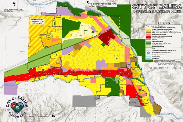
Future Land Use Map (FLUM)
The City in conjunction with Clarion Associates is currently in the process of creating a Future Land Use Map (FLUM).
The FLUM is a tool to guide the type, intensity, and location of future development within the City of Salida and the Municipal Services Area (MSA). It is intended to work in tandem with the principles and policies of the Salida Comprehensive Plan.
The FLUM is supported by the land use category definitions that follow. The land use categories describe the overall intent for each area and help “connect the dots” between Comprehensive Plan policies and the FLUM with regard to desired density, mix of uses/housing types, and distinguishing characteristics by area.
The draft FLUM reflects reasonable assumptions about future land use in City limits and the MSA based on current plans and commitments. Based on community input received, the draft FLUM will be refined and brought forward for further consideration as part of the Comprehensive Land Use Code Rewrite Process, which will be one of the primary mechanisms the City will use to implement community priorities embodied in the FLUM.
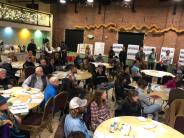
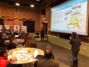
The City and Clarion Associates hosted a public meeting on November 9th at the Salida Steamplant and received initial feedback. We received additional feedback from the FLUM Community Online Survey between 11/09/2022 - 12/19/2022.
Please see the summary of survey responses to the first draft of the FLUM.


